
Say Goodbye to Toll Booth Hassles, India Goes Satellite-Based Tolling for Faster Highways
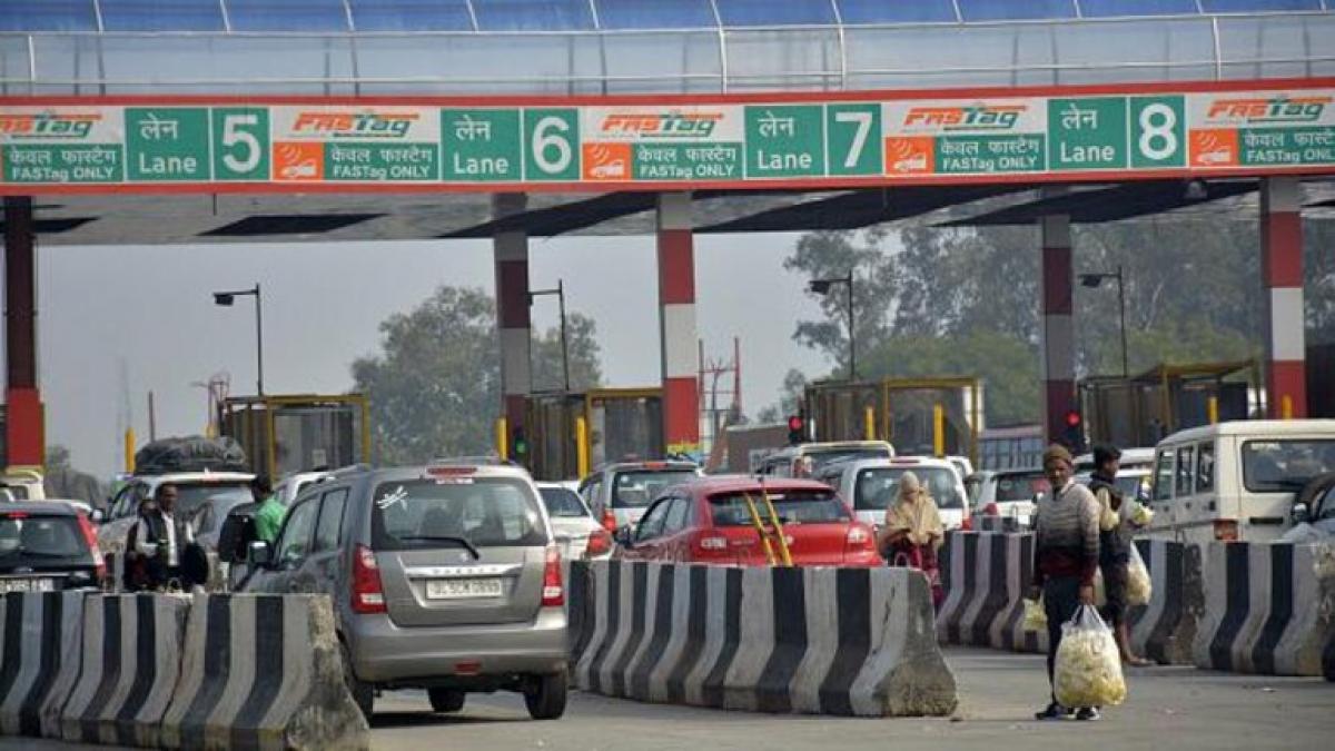
New Delhi: The Ministry of Road Transport and Highways has revised the National Highways Fee (Determination of Rates and Collection) Rules, 2008, to incorporate electronic toll collection via satellite-based systems. These changes, announced on September 10, introduce the Global Navigation Satellite System (GNSS) technology, including the U.S. Global Positioning System (GPS) with On-Board Units (OBUs), as a new method of toll collection alongside existing systems like FASTag and Automatic Number Plate Recognition (ANPR).
Under the new rules, vehicles fitted with GNSS OBUs will pay tolls based on the distance they travel, eliminating the need for them to stop at toll plazas. Rule 6 of the 2008 regulations has been updated to create special lanes at toll plazas for GNSS-enabled vehicles, streamlining the toll collection process. The amendments were published in the Official Gazette and are part of a broader effort by the government to modernize toll collection with advanced technologies.
For vehicles without GNSS devices or those not registered in India, standard toll rates will apply. A zero-toll corridor of up to 20 km will be introduced for GNSS-enabled vehicles, after which tolls will be charged based on the distance covered.
What is GPS-based toll collection?
Currently, tolls are often paid manually, even with systems like FASTag, which can lead to traffic congestion. The GPS-based toll system offers a more efficient solution by leveraging satellite technology and in-car tracking to calculate tolls based on the distance a vehicle travels. Vehicles with OBUs or tracking devices will be charged for the distance covered, eliminating the need for physical toll plazas. CCTV cameras on highways will also assist in verifying vehicle positions for accuracy.
Difference from FASTag
Unlike FASTag, which uses RFID technology, the satellite-based toll system relies on GNSS, providing more precise location tracking. It uses both GPS and India’s GPS Aided GEO Augmented Navigation (GAGAN) for accurate distance-based tolling.
How will it work?
OBUs will be installed in vehicles, tracking their movements on highways. These coordinates are shared with satellites to calculate the distance traveled, and toll charges will be automatically deducted from linked bank accounts. The system will initially be introduced on key highways, with pilot projects testing its effectiveness alongside FASTag.
Revenue Impact and Challenges
The National Highways Authority of India (NHAI) currently collects approximately Rs 40,000 crore in toll revenue annually, which is expected to rise significantly as the new system is implemented. NHAI plans to integrate this GNSS system with FASTag in a hybrid model. However, the transition to this new system may face challenges due to India’s vast road network and the need for infrastructure upgrades.